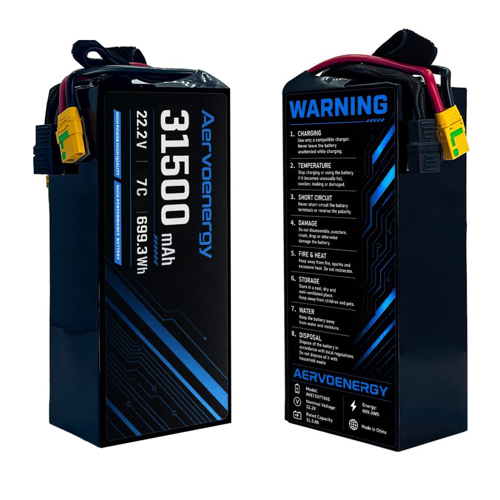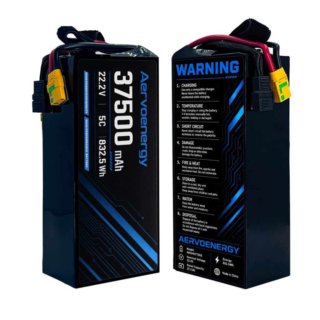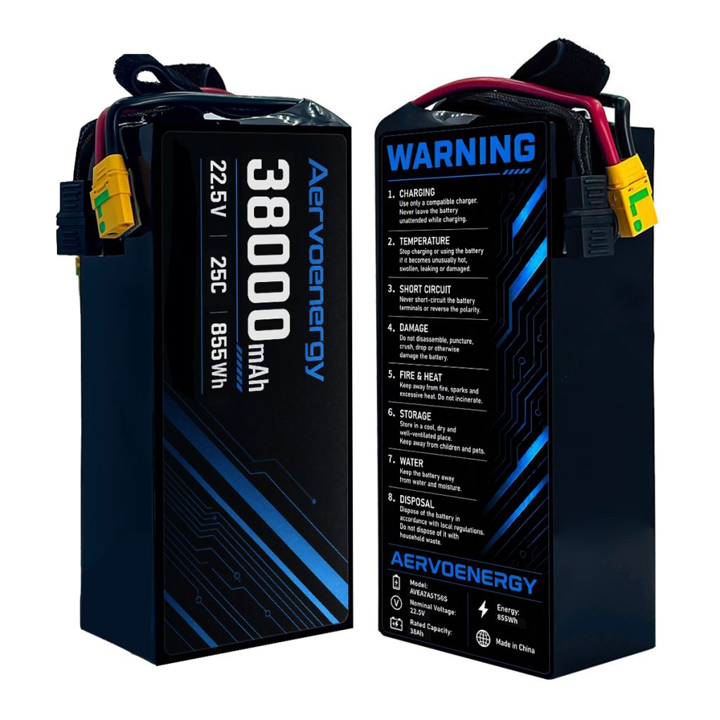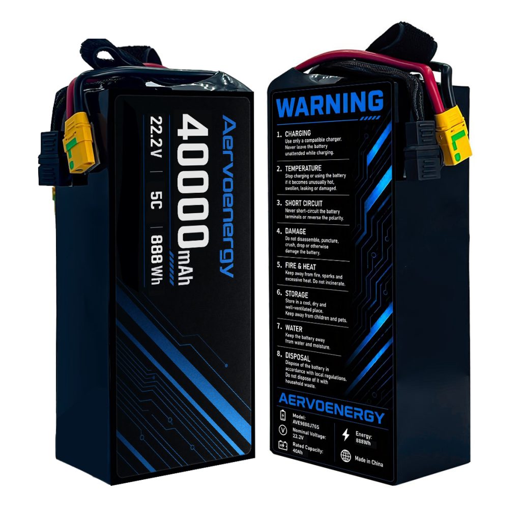


Mapping & Surveying UAV Battery Solutions
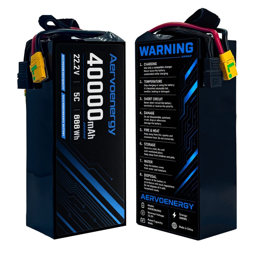
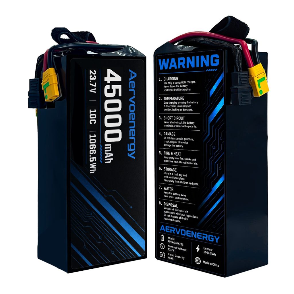
High energy density semi-solid UAV batteries engineered for aerial photogrammetry, LiDAR scanning, and corridor mapping. Maximize single-sortie coverage and reduce battery swap interruptions with lightweight, long-endurance power platforms.
380 Wh/kg
Cell Gravimetric ED
6S–14S
VTOL & Multirotor
-20°C
Low-Temp Operation
Why Batteries Matter in Aerial Surveying Drone Operations
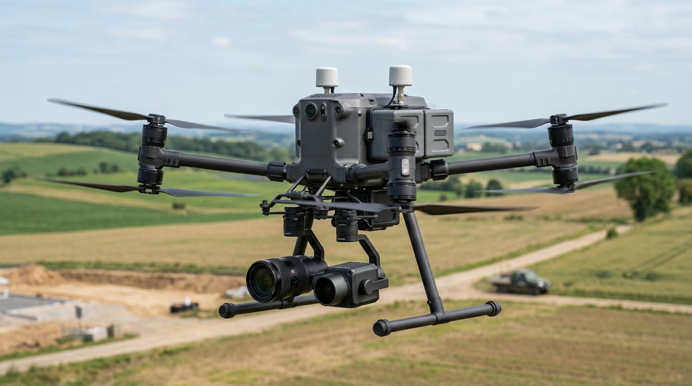
Geospatial surveying, corridor inspection, and broadacre photogrammetry operate under tight operational constraints where flight endurance dictates mission economics. Standard battery platforms constrain VTOL fixed-wing and multirotor survey drones to limited airtime, forcing frequent landing cycles, repeated satellite re-locks, and fragmented flight lines that increase fieldwork overhead.
Extended Flight Duration
Broadacre mapping and long-distance linear corridors require unbroken airtime. Higher gravimetric energy density reduces battery swapping frequency and expands single-flight coverage.
Low-Temperature Resilience
Survey missions frequently take place across chilly mountain passes and early morning hours where conventional cells suffer severe voltage depression and capacity loss.
Flat Discharge Curve for Sensors
Precision aerial LiDAR, multispectral cameras, and RTK GNSS receivers require ripple-free voltage stability to prevent data acquisition errors and sensor lock drops.
Survey Productivity & ROI
Fewer battery swaps and longer airtime substantially increase the daily surveyed square mileage per crew, reducing amortized field operational costs.
AervoEnergy Battery Solution for Mapping & Surveying UAVs
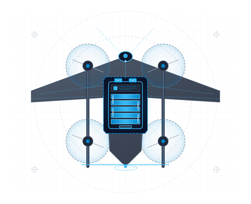
AervoEnergy geospatial power systems utilize high-density semi-solid state chemistry delivering cell-level energy densities up to 380 Wh/kg (and 250–290 Wh/kg at the integrated pack level). Engineered for high-altitude endurance and low-temperature resilience, our battery solutions keep surveying multirotors and VTOL fixed-wings airborne significantly longer per sortie, minimizing landing interruptions and ensuring continuous, high-precision geospatial data acquisition.
Supported Mapping & Surveying Drone Platforms
Commercial VTOL Fixed-Wing Survey Drone
Delivers high gravimetric energy density, allowing VTOL aircraft to carry heavier LiDAR scanners and oblique cameras while extending airborne survey range.
Compact Photogrammetry Multirotor
Maintains dependable electrochemical conductivity down to -20°C, enabling early-morning mountain passes and cold-season survey flights without external preheating.
Heavy-Payload Dual-Sensor Corridor Platform
Maintains high capacity retention over hundreds of deep cycles, protecting surveying capital equipment investments over multi-year operations.
High-Altitude Mountain Surveying Drone
Compact cell packaging maximizes internal compartment space utilization while providing clean electrical output to prevent electromagnetic interference with GNSS receivers.
Core Advantages of Our Battery Solution

High Cell Gravimetric Density (Up to 380 Wh/kg)
Significant weight savings convert directly into extended flight endurance and support heavier multi-sensor camera payloads.

Sub-Zero Temperature Operation
Engineered to deliver stable discharge in freezing ambient conditions down to -20°C without dramatic capacity collapse.

Flat 3.65V Discharge Plateau
Ultra-flat discharge profile provides consistent voltage to precision optical, thermal, and LiDAR survey payloads until reserve landing.

Versatile Form Factors & 6S–14S Options
Adaptable cell dimensions and multi-voltage configurations fit seamlessly into tight fuselage compartments of commercial survey aircraft.